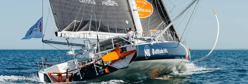
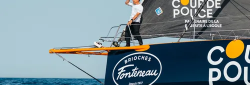
Wind Farm Exclusion Zones. These are the first restricted zones on the course. The first lies off Saint-Nazaire and surrounds a wind farm comprising 80 turbines, generating the equivalent of 20% of the electricity consumption of the Loire-Atlantique region. The second, located between Île d’Yeu and Île de Noirmoutier, consists of around 60 turbines and supplies enough electricity for approximately 800,000 people. Sailing within these areas is, naturally, prohibited. A smaller restricted zone is also located close to the start area in order to protect the service barges.
The Natura 2000 Iroise Protection Area. Once the fleet reaches Brittany, skippers will not be allowed to sail close to the Finistère
coastline. The waters around Ouessant, Molène and the Chaussée de Sein are part of the European Natura 2000 network, created to protect the Iroise Marine Natural Park. This area is exceptionally rich in biodiversity, notably thanks to the presence of marine mammals such as grey seals and bottlenose dolphins, as well as numerous seabird species including terns and shearwaters. The boundaries of the zone have been established using scientific observation data.
The Ushant Long Traffic Separation Scheme. Further to the north-west, another restricted area comes into play. Known as a Traffic Separation Scheme (TSS), these shipping lanes are regulated by the International Maritime Organization (IMO). Their purpose is to keep competitors away from major commercial shipping routes and thereby minimise the risk of collisions. This is one of the busiest maritime corridors in the world: more than 600 cargo vessels transit through it every day, accounting for nearly 20% of global maritime traffic.
Other Traffic Separation Schemes. Here again, the objective is to avoid areas of particularly dense maritime traffic. This applies around the Isles of Scilly, to the south-west of England. Similar restricted zones are located around the legendary Fastnet Rock, while several others are positioned around Ireland and Iceland.
The North Atlantic Biodiversity Protection Zone. North of Great Britain, several areas have also been designated as off-limits for competitors. These are Biodiversity Protection Zones (BPZs), created primarily to reduce the risk of collisions with marine megafauna. Another particularly large BPZ is located in the North Sea between Great Britain and Norway. Additional zones have been established north-west of Iceland and north-west of Norway.
The Arctic Exclusion Zone. This vast restricted area extends north of the Arctic Circle and encompasses waters around Greenland. Defined using ice monitoring data, its purpose is to protect skippers from iceberg hazards and prevent them from having to navigate through densely ice-populated waters. The Arctic Exclusion Zone mirrors the Antarctic Exclusion Zone used during every Vendée Globe to safeguard competitors during their passage through the Southern Ocean.